It has been almost two entire years since we have had a bona-fide hurricane field mission (Mitlon was the last). This weekend, it looks like the quiet time comes to an end.
Tomorrow morning, I will depart SE NC to meet up with several colleagues along the central Gulf Coast to do what we do best: deploy remote cameras and weather instruments and document the impacts.
I will post a video update later this afternoon outlining my specific plans and how our supporters can access all of the amazing tools that we have developed just for events like this.
For anyone along the central Gulf Coast and areas far inland along the predicted track: take Isaias seriously! I believe we could be looking at this season's "it only takes one".

 NHC 48 Hour Tropical Weather Outlook
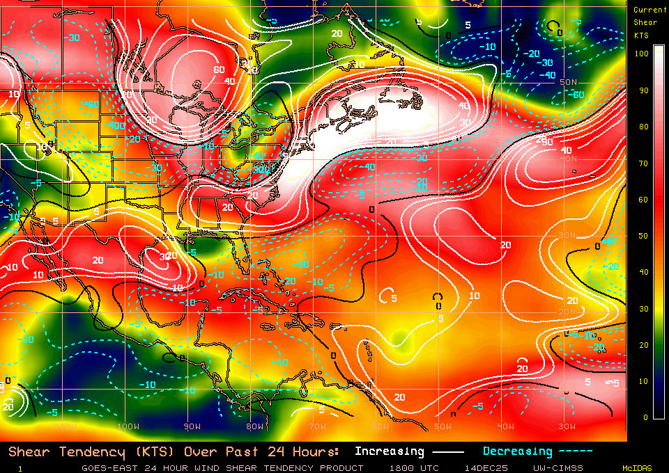
 Shear Tendancy
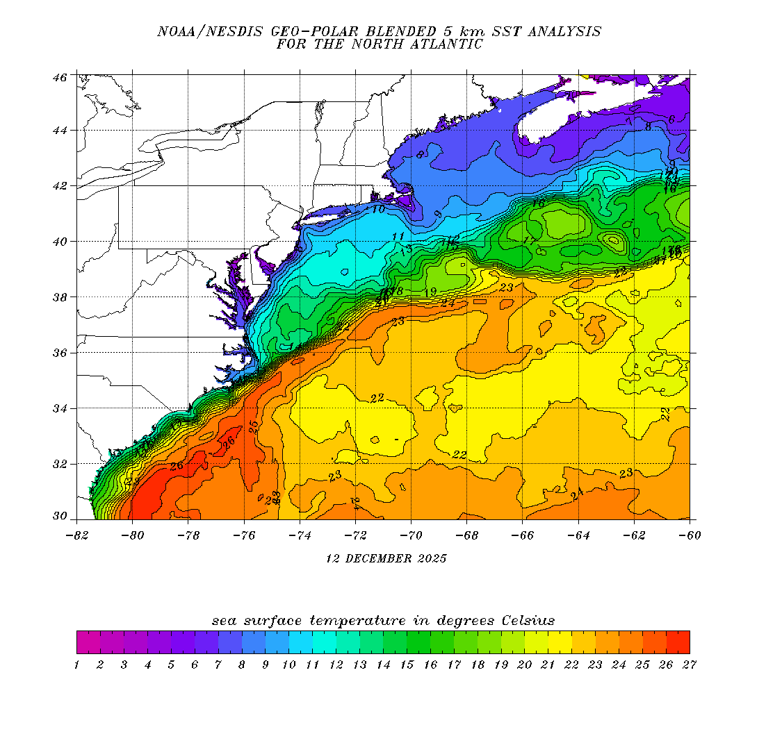
 Southeast Coast SST Chart
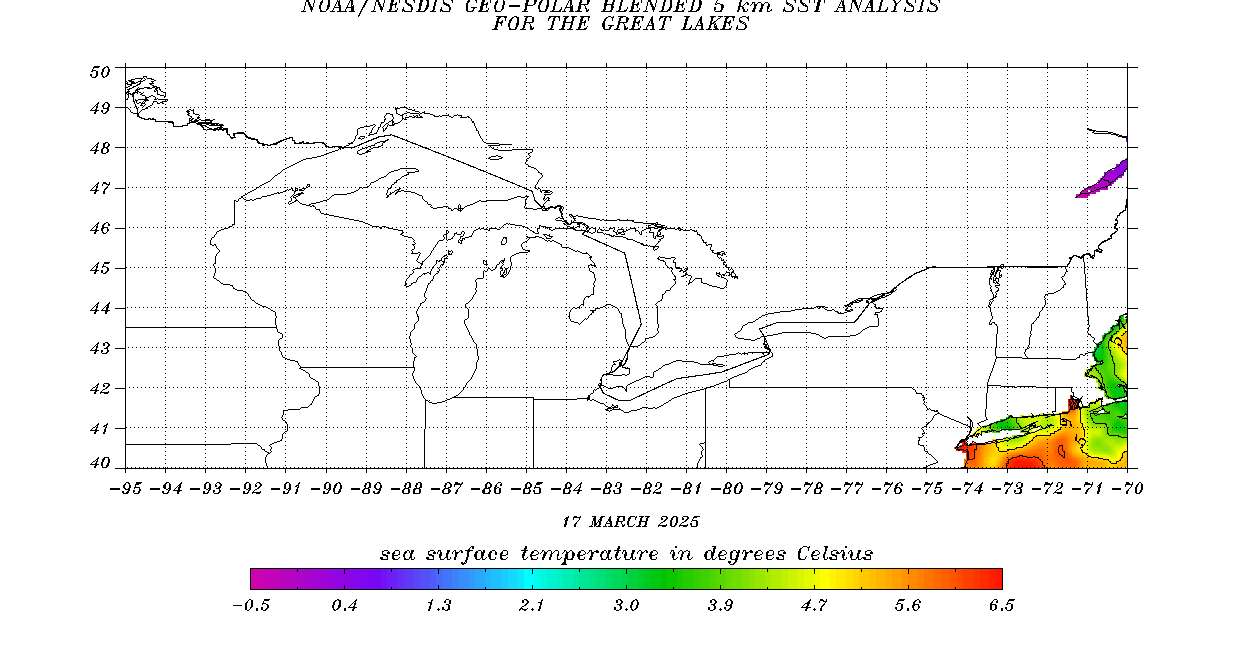
 Gulf of Mexico SST Chart
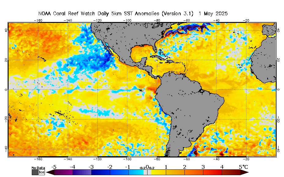
 NOAA SST Anomalies
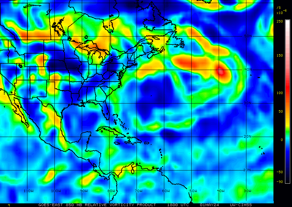
 850MB Vorticity from CIMSS
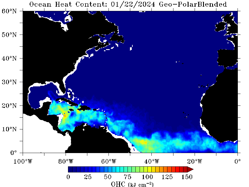
 Upper Ocean Heat Content